places in Ferrenafe
Peru
Ferrenafe
Ferrenafe
Administrative Region:
Lambayeque
population:
47 087
calling code:
+51-74
postcode:
14311
Location on the map of Peru
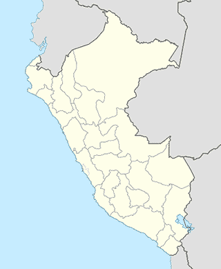
Ferrenafe
Book store
Libreria Bazar Amys
885, Pasaje Nicanor Carmona, Ferreñafe
Book store
read more
Police
Comisaría de Ferreñafe
Avenida Tacna 620, Ferreñafe
Police
read more
Comisaria Batangrande
102, Batangrande
Police
read more
Restaurant
Rest. Che Limon
Ferreñafe
Restaurant
read more
Recreo Campestre El Paraiso (Familia Lopez Baila)
Peru
Restaurant
read more
Centro de recepciones Angela
Carmona 840, Ferreñafe
Restaurant
read more
Complejo Turistico La Posada De Sican
Peru
Restaurant
read more
Restaurante Turistico Tijuana
Castro de Bulnes 501, Ferreñafe
Restaurant
read more
Recepciones Doña Hilda
Avenida Tacna 688, Ferreñafe
Restaurant
read more
Restaurante De Doña Violet
Ferreñafe
Restaurant
read more
Restaurant La Jarana Peña Show
Ferreñafe
Restaurant
read more
Restaurant Ichi Ban
Batangrande
Restaurant
read more
Centro Turistico Bobadilla
Km. 3.5 Carretera Ferreñafe, Ferreñafe
Restaurant
read more
Quinta Hacienda Bobadilla Chiquitin Salazar
Unnamed Road #8
Restaurant
read more
Restaurante El Tronco
Carretera Batangrande, Tambo Real
Restaurant
read more
Restarurant Turístico "Salón Azul"
Pasaje San Martin 290, Ferreñafe
Restaurant
read more
Restaurant 4 Esquinas
Garcilazo de la Vega 476, Pitipo
Restaurant
read more
D'Casa Grill
San Martin 940, Ferreñafe
Restaurant
read more
Route
Calle Union 770-886
Ferreñafe
Route
read more
Veterinary care
Veterinaria VET PET'S
Calle Union 940, Ferreñafe
Veterinary care
read more
📑
Ferrenafe all categories
Administrative area level 1
Administrative area level 2
Bakery
Bank
Bar
Beauty salon
Book store
Cafe
Car repair
Cemetery
Church
Clothing store
Doctor
Electronics store
Finance
Florist
Food
Funeral home
Gas station
General contractor
Grocery or supermarket
Gym
Hardware store
Health
Home goods store
Hospital
Laundry
Lawyer
Liquor store
Local government office
Locality
Lodging
Museum
Natural feature
Neighborhood
Night club
Park
Pharmacy
Physiotherapist
Place of worship
Point of interest
Police
Premise
Restaurant
Route
School
Shoe store
Shopping mall
Stadium
Store
Supermarket
University
Veterinary care
↑