places in Ilo
Peru
Ilo
Ilo
Administrative Region:
Moquegua
population:
59 572
calling code:
+51-53
postcode:
18601
Location on the map of Peru
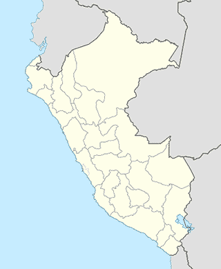
Ilo
Movie theater
UVK Ilo
Jr.Abtao 617, Ilo
Movie theater
read more
Bus station
Flores Hnos. SRL
Ilo
Bus station
read more
Cruz del Sur
Ilo District
Bus station
read more
Terminal Terrestre
Avenida Panamericana, Ilo
Bus station
read more
Ormeño
Junin, Ilo
Bus station
read more
Tepsa
Ilo District
Bus station
read more
Tepsa
Ilo
Bus station
read more
Civa
Matará 302, Ilo
Bus station
read more
Flores Hnos. SRL
Ilo District
Bus station
read more
Cruz del Sur
Ilo
Bus station
read more
Local government office
Oficina Desconcentrada APN ILO
Enapu,B2, Lote2, Ilo
Local government office
read more
Dirección Regional de Transportes y Comunicaciones Moquegua Oficina Ilo
Avenida Panamericana, Ilo
Local government office
read more
Caja de Beneficios y Seguridad Social del Pescador
San Jerónimo, Ilo
Local government office
read more
Caja de Beneficios y Seguridad Social del Pescador
San Jerónimo & Pje 13 de Setiembre, Ilo
Local government office
read more
Autotrónica Prime
Ilo District
Local government office
read more
Autotrónica Prime
Ilo
Local government office
read more
CECANS
Mirave 622, Ilo
Local government office
read more
Transit station
Puerto Artesanal
Miraye, Ilo
Transit station
read more
ENAPU S.A. - Terminal Portuario de Ilo
Matará 104, Ilo
Transit station
read more
Maritimos
Avenida Venecia, Ilo
Transit station
read more
Travel agency
Agencia de Viajes y Turismo My Adventure S.A.C
Ilo
Travel agency
read more
Agencia Maritima Marko Busonich
Jirón Moquegua 104, Ilo
Travel agency
read more
Costa Brava Line
Jr, Matará 535, Ilo
Travel agency
read more
Agencoa My Adventure SAC
Ilo
Travel agency
read more
EXPOTUR ILO
Unnamed Road
Travel agency
read more
Agencia de Viajes y Turismo My Adventure S.A.C
Ilo District
Travel agency
read more
Agencoa My Adventure SAC
Ilo District
Travel agency
read more
📑
Ilo all categories
Accounting
Administrative area level 2
Airport
Amusement park
Atm
Bakery
Bank
Bar
Beauty salon
Book store
Bus station
Cafe
Car dealer
Car rental
Car repair
Casino
Cemetery
Church
City hall
Clothing store
Dentist
Doctor
Electronics store
Finance
Fire station
Florist
Food
Funeral home
Gas station
General contractor
Grocery or supermarket
Gym
Hair care
Hardware store
Health
Home goods store
Hospital
Lawyer
Library
Local government office
Locality
Lodging
Movie theater
Moving company
Museum
Natural feature
Neighborhood
Night club
Park
Pharmacy
Place of worship
Point of interest
Police
Post office
Premise
Real estate agency
Restaurant
Route
School
Shoe store
Shopping mall
Spa
Stadium
Storage
Store
Supermarket
Transit station
Travel agency
University
Veterinary care
↑